Show your team the sales territory plan
Draw territory boundaries, mark customer locations, and add notes that explain who covers each area. Share one map for your next sales meeting.
Free to draw and share. No account needed.
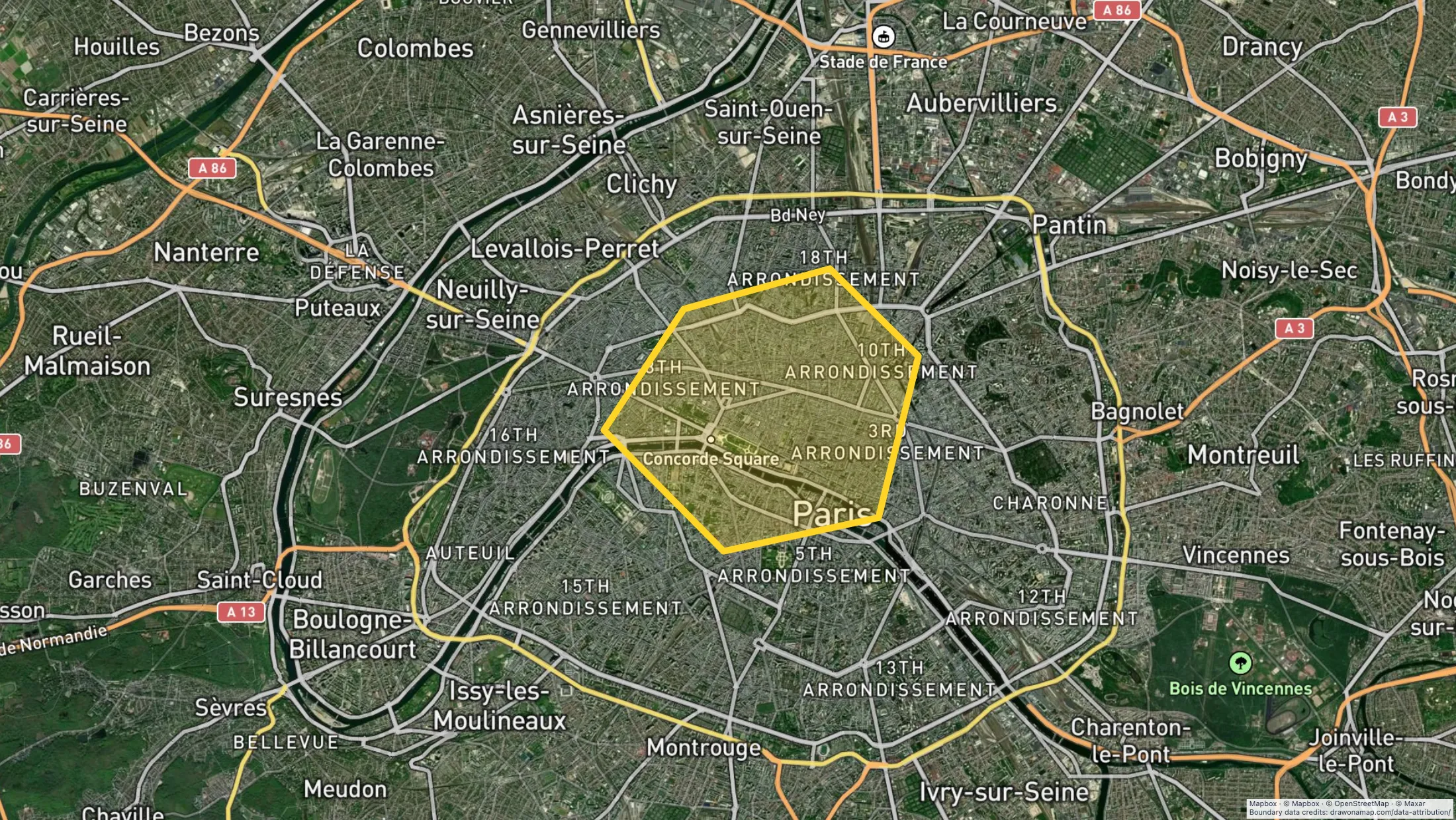
Make the map you need.
Mark the territory
Draw the approved boundary and label the area so your team can identify it.
Add customer context
Add location markers and notes for the accounts or boundary changes you need to discuss.
Share the plan
Send a free standard link. Editing with teammates in real time requires Pro.
What you can make
Use Draw on a Map to show territory boundaries, mark customer locations, and explain changes to your sales team. Share a link for free, or export a PNG or PDF for a meeting. Free downloads have a watermark. For territory calculations or a wider GIS workflow, compare the other tools below.
At a glance
| Tool | Best for | Cost and access |
|---|---|---|
| Territory maps for meetings and handoffs | Free drawing and standard sharing. Image/PDF exports and some sharing features are paid. | |

| Customer and territory analysis | Trial available. $250 for 45 days; Pro is $110/month or $1,250/year. | |
| Maps within a shared GIS workflow | Personal is free for non-business use without file uploads. Business use needs a paid plan; a trial is available. |
Choose what your map needs
1.
Draw on a MapOur product
- Best for
- Territory maps for meetings and handoffs
- Cost
- Free drawing and standard sharing. Image/PDF exports and some sharing features are paid.
Draw boundaries, add customer markers, and write notes beside the places they describe. Use a standard link to share the map, or export a PNG or PDF for meeting materials.
Check the fit: you need automatic territory balancing, account assignment, stop optimization, or CRM integration.
Open Draw on a Map ↗2.
Maptive
- Best for
- Customer and territory analysis
- Cost
- Trial available. $250 for 45 days; Pro is $110/month or $1,250/year.
Compare Maptive when you need to analyse customer locations and territories. Test your required calculation with a small sample of customer data before choosing a plan.
Check the fit: your task is to draw and share an existing territory plan.
Maptive product details ↗3.
Felt
- Best for
- Maps within a shared GIS workflow
- Cost
- Personal is free for non-business use without file uploads. Business use needs a paid plan; a trial is available.
Compare Felt when a data team maintains geographic data for your sales team. Check the required data connections and business plan.
Check the fit: you need a ready-made CRM or sales territory management process.
Felt product details ↗Make boundary changes easy to review
A territory map helps a sales team discuss the places behind an assignment. Label each area with its name or owner. Add a note at a changed boundary to explain which customers the change affects.
For a handoff, mark the locations that the next representative needs to know. Keep notes beside the relevant marker or boundary so the recipient can read them in context.
Bring customer locations onto the map
If you have a list of customer locations, use the spreadsheet import guide to prepare it. Include the fields you need for the map. Check a few known locations and any customers near a territory boundary before sharing.
For a printed meeting pack or slide, export a PNG or PDF. Core drawing and standard share links are free. If teammates need to edit together in real time, save the map and invite them with Pro.
Choose a tool for territory calculations
A territory can depend on account count, revenue opportunity, or travel effort. Decide which measure matters before you compare tools. A similar area on the map does not imply a similar workload.
If you need calculations, test a small sample with known locations and totals. Include a duplicate name, a customer near a boundary, and an ambiguous address. Compare the result with your source data before using it to assign accounts.
Keep account assignments in the system your team maintains. Name the person who approves changes and record when you last updated the map. This gives each representative a clear plan to follow.
Choose for the work you need to do
Use Draw on a Map when you need to explain and share a territory plan. Compare Maptive for customer and territory analysis, or Felt for a shared GIS workflow. The direct Maptive comparison explains the differences in more detail.
Questions
Can I make a sales territory map for free?
Yes. Core drawing and standard share links are free in Draw on a Map. PNG and PDF downloads are free with a watermark.
Can my sales team edit the map together?
Yes. Real-time collaboration on a saved map requires Pro.
Can Draw on a Map optimize a sales route?
No. It does not automatically choose the best stop order. Use a route optimization tool when you need that calculation.
Where should we keep account assignments?
Keep account assignments in your CRM or the business system your team maintains. Use the map to explain boundaries and changes. Draw on a Map does not update those records automatically.