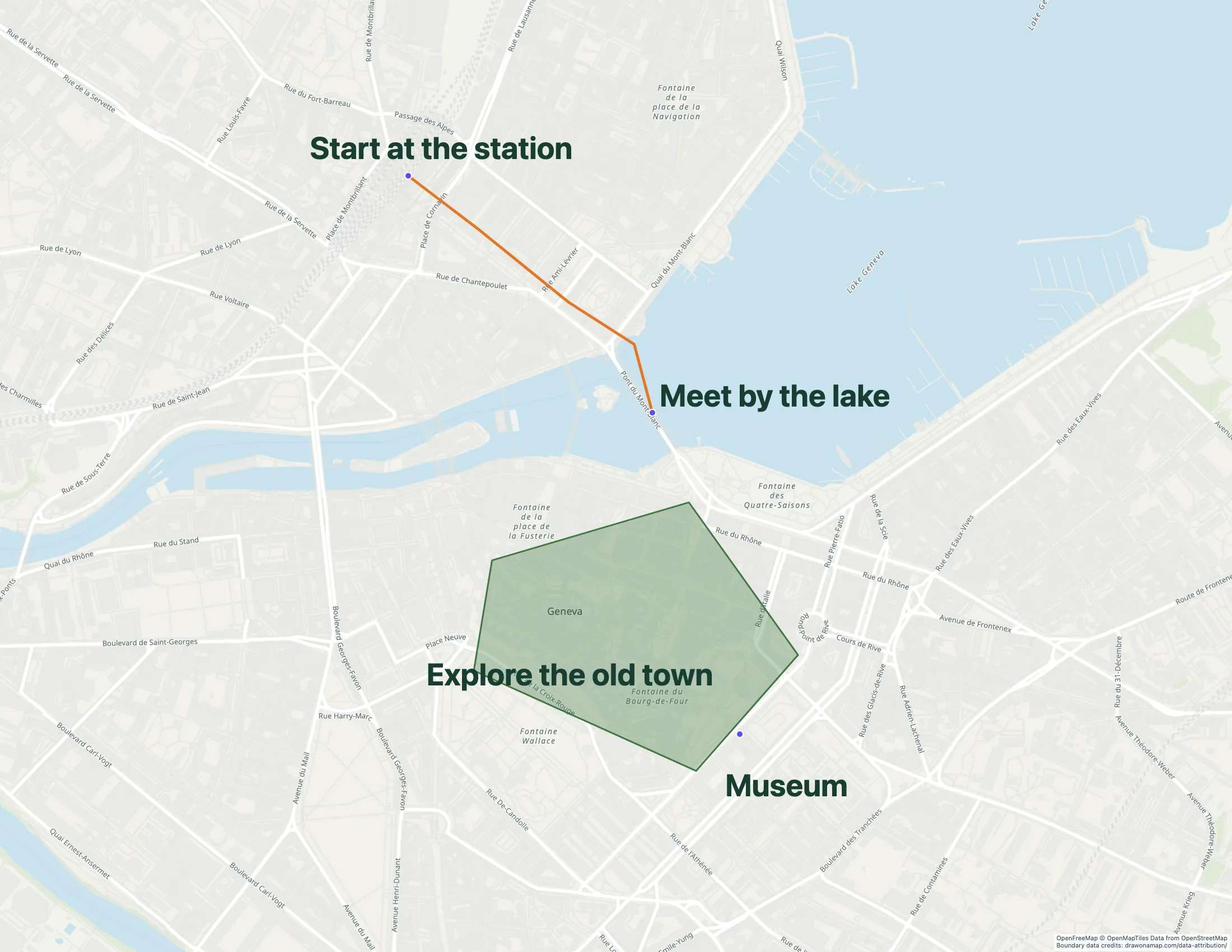
Mark the places in your assignment, draw a route or boundary, and add notes that explain your findings. Use Draw on a Map to turn those details into one map you can share.
A walking route in Geneva with map annotations. Use the same tools to explain places in your assignment.
Make the map you need.
01
Find your study area
Search for the place in your assignment. Choose a view that includes the locations you need to explain.
02
Show your findings
Draw the route or boundary and add notes. Use consistent colors so your reader can tell each type of place apart.
03
Prepare your submission
Create a free standard share link if your assignment accepts links. PNG and PDF downloads are free with a watermark.
What you can make
Use Draw on a Map to explain a geography assignment with a route, boundary, and notes. Start drawing for free and submit a standard share link when your teacher accepts links. For a group project, save the map and invite classmates to edit. Inviting editors requires Pro.
Personal is free for non-business use without file uploads. Business use needs a paid plan; a trial is available.
Choose what your map needs
1. Draw on a MapOur product
Best for
An annotated assignment
Cost
Free drawing and standard sharing. Image/PDF exports and some sharing features are paid.
Draw a route, mark a boundary, and add notes to explain your assignment. Core drawing and standard share links are free, with no account needed to start. Inviting classmates to edit in real time requires Pro.
Check the fit: the assignment requires GIS analysis, reproducible data processing, or an unsupported file type. PNG and PDF downloads are free with a watermark.
Consider My Maps when the assignment is a place list and your group already uses Google Drive. Agree on the map owner and check editing access before classmates add their locations.
Check the fit: you need an account-free drawing session or advanced geographic analysis.
Personal is free for non-business use without file uploads. Business use needs a paid plan; a trial is available.
Consider Felt when your course requires uploaded geographic data and shared review. Check the course requirements and education access before you choose a plan.
Check the fit: you expect the ordinary Personal tier to include file uploads. Its restrictions differ from education access and paid plans.
A fieldwork route can show where you collected observations. A boundary can identify your study area. Notes can explain what you found at each place. Draw on a Map lets you put these details on the same map, so your teacher can connect your findings to their locations.
For a geography assignment, choose the details that answer your project question. Use one color for each type of place and keep labels short enough to read at the final map size.
Keep your sources with your findings
Include the source and date of your location data in the submission. Explain what your lines and shapes represent. Label an approximate boundary as approximate.
If you calculate an area or compare data, include the method with the map. A traced shape alone does not explain how you made a measurement.
For a project with a small location dataset, use the spreadsheet import guide to bring your rows onto the map.
Work with your project group
Inviting classmates to edit in real time requires Pro. Agree on who will add each part, and use the same colors and labels throughout the project. Keep one person responsible for the final submission.
Use a standard share link when your teacher or classmates only need to view the result. Invite editors when they need to change the map.
Check the map before you submit
Confirm whether your teacher needs a link, an image, a PDF, or an editable data file. Core drawing and standard share links are free. PNG and PDF downloads are free with a watermark.
Open your share link in a separate browser session, or inspect the exported file at its final size. Check that the labels are readable and the full study area is visible. Ask a classmate to explain the map without your help. If a symbol or line is unclear, add a note before you submit.
Questions
Can I make a school project map for free?
Yes. Draw on a Map core drawing and standard share links are free. You can start without an account. PNG and PDF downloads are free with a watermark.
Can classmates edit the same map?
Yes. Save your map, then invite classmates as editors for real-time collaboration. Inviting editors requires Pro. A standard share link is for viewing and does not give editing access.
Can I submit a share link instead of a PDF?
Use a standard share link if your assignment accepts it. Open the link in a separate browser session before you submit. If your teacher requires an image or PDF, a free download includes a watermark.